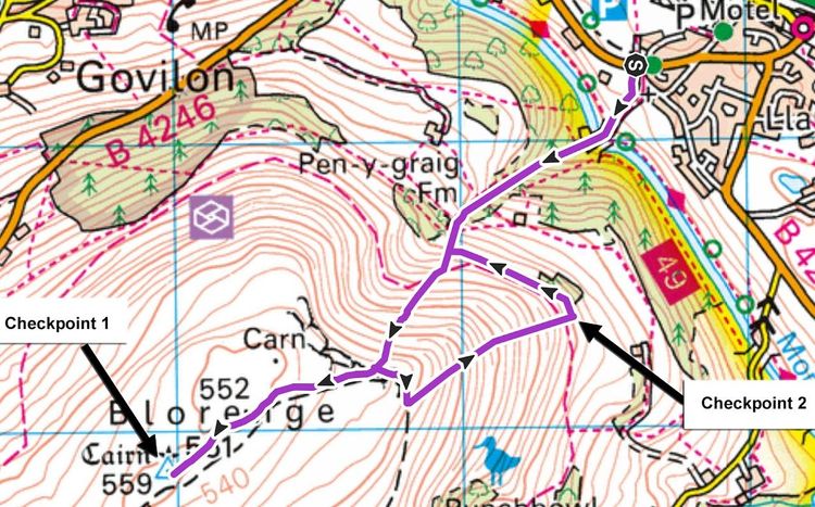
Blorenge
Location
Village Hall, Llanfoist, nr. Abergavenny, NP7 9LP (GR SO 287134)
30 minute walk from Abergavenny. Directly on a cycle path with safe bike storage.
Rail 40 minute walk from Abergavenny train station with frequent trains from Hereford, Newport, Cardiff, Bristol.
Buses from Brecon, Pontypool, Monmouth all arriving at Abergavenny. And buses from Brynmawr direct to Llanfoist.
There is limited parking available. Please please consider car sharing to not only reduce your carbon emissions but also ensure we have enough parking available for those who need it.
Safety information
General AreaMainly accessible low-lying moorland and/or open fell | 1 | 2 | 3 | 4 | 5 |
HeightUp to approx 2,000 ft (600m) | 1 | 2 | 3 | 4 | 5 |
TerrainSome moderately challenging terrain, e.g. reasonable tracks over moorland or good fell paths | 1 | 2 | 3 | 4 | 5 |
Exposure (drops) and hazards on or near routeNo exposure but mild risk from e.g. ground holes, bogs, or river crossings | 1 | 2 | 3 | 4 | 5 |
Navigation skills requiredBasic: route may be mostly obvious or waymarked, but some basic navigation required in parts | 1 | 2 | 3 | 4 | 5 |
Mountain skills requiredBasic: off-trail experience helpful, e.g. in route planning, preparation and emergency considerations | 1 | 2 | 3 | 4 | 5 |
Escape routesLots of options but with possible “decision points” before some sections | 1 | 2 | 3 | 4 | 5 |
Season time and effect of weatherConditions could be challenging and/or route may be prone to sudden weather changes; effect may be significant | 1 | 2 | 3 | 4 | 5 |
Enter
£6 pre-entry (no EOD)
Enter onlineOrganiser
Patrick Jarvis & Kani Hinshelwood
07460 460333
blorengefellrace@gmail.comInsured by WFRA